Simplified drone surveying for everyone to capture full terrain surveys
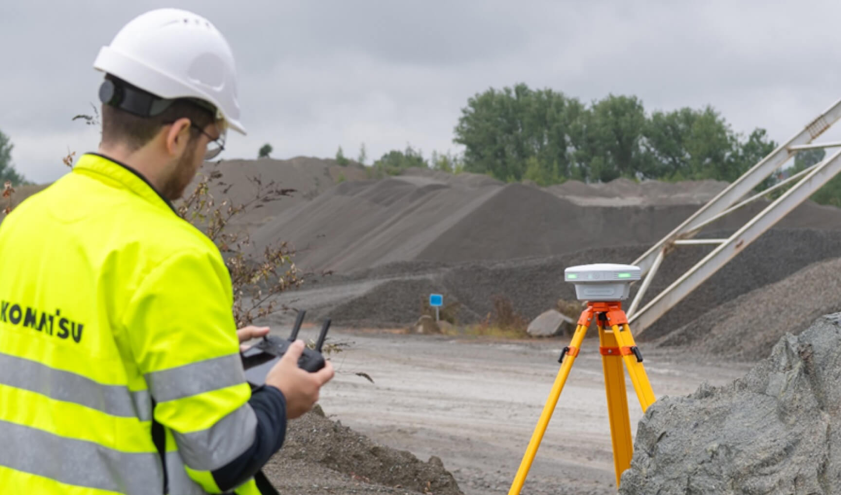
Our simplified workflow eliminates all manual calculations and technical hassle, streamlining the process so that everyone can map the full terrain seamlessly.
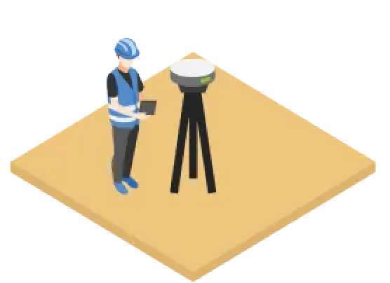
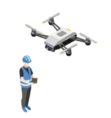

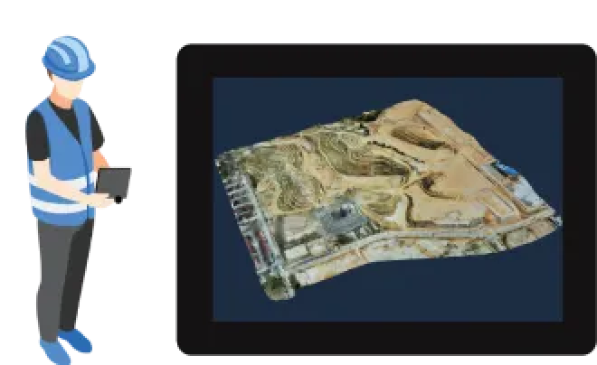
Under the hood of the industries’ new drone surveying workflow
Say goodbye to Ground Control Points (GCPs)
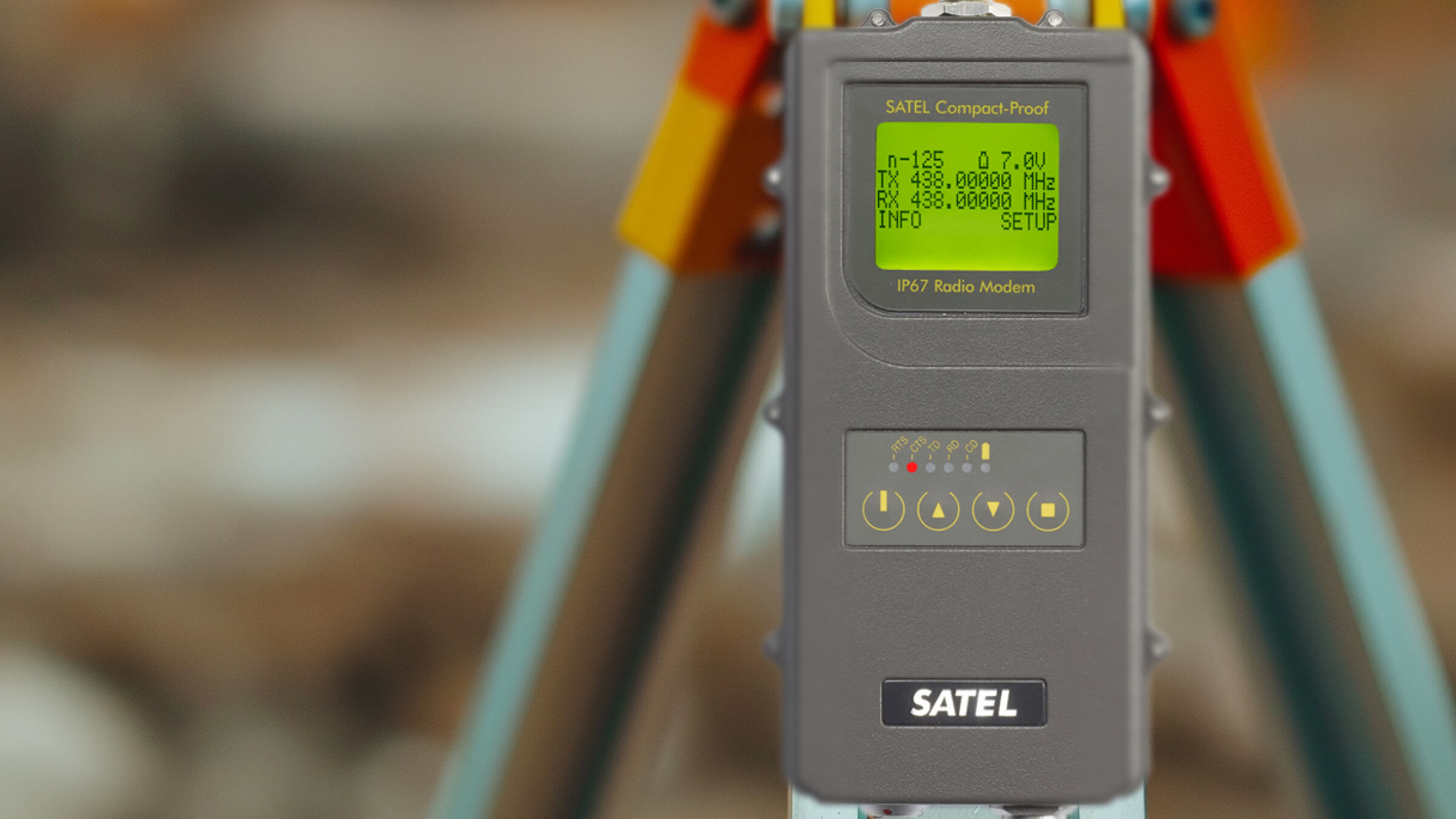
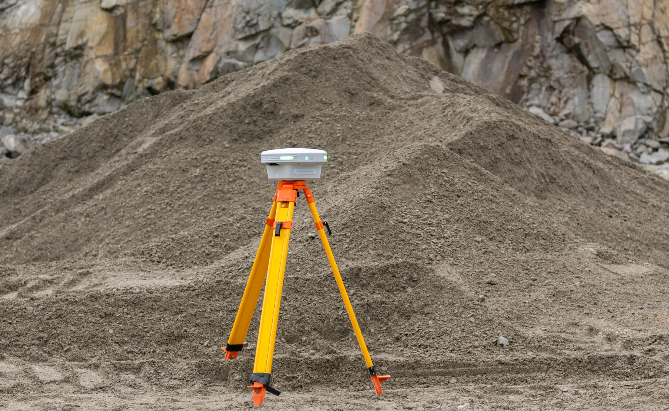
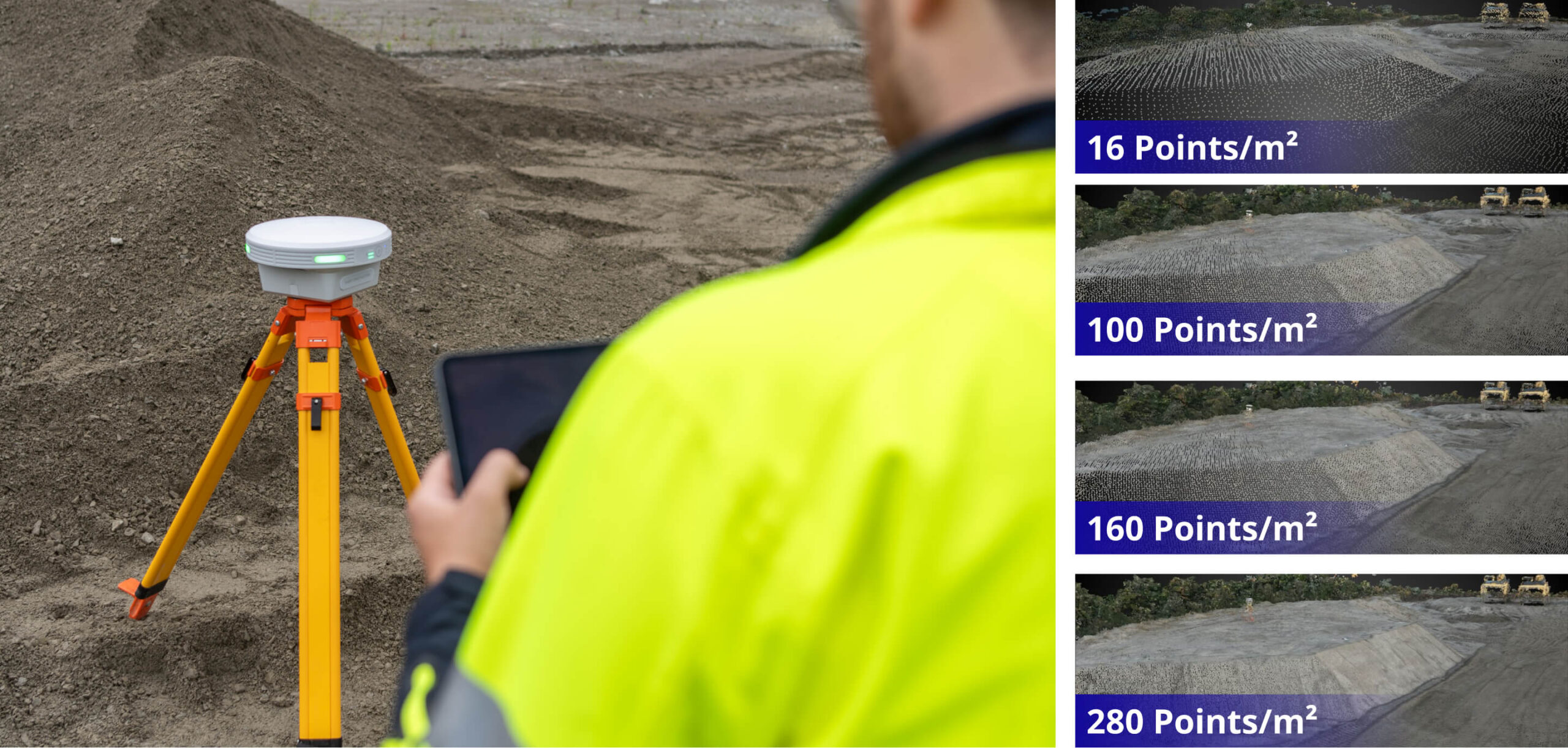
Maximize safety and efficiency with Smart Construction Edge! When flying PPK, simply set up Edge as a PPK base station to track and integrate correction data into your dataset — keeping your team safely out of active sites. No more worries about operators driving over ground control points.
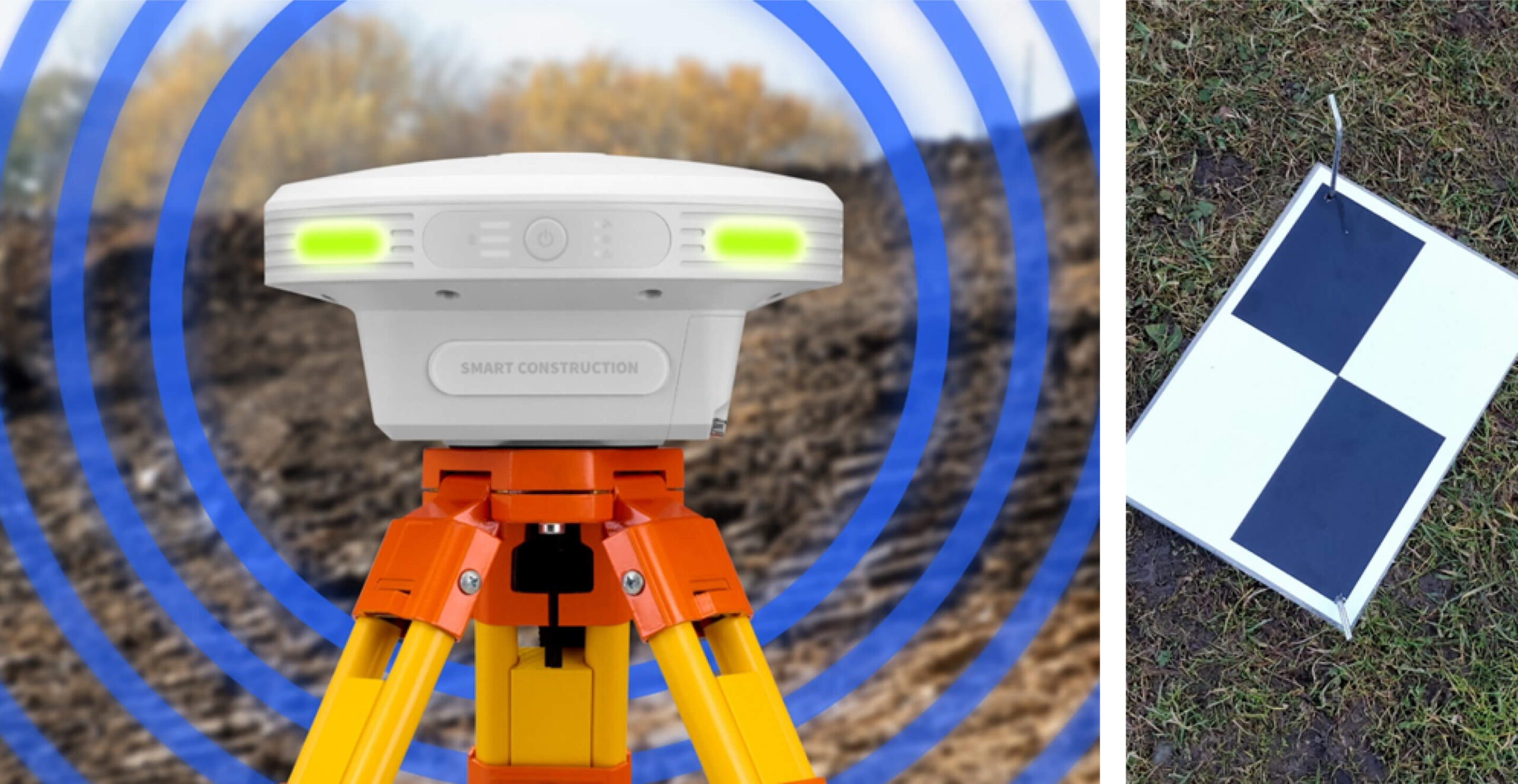
SfM (Point Cloud Processing)
3D processing of your flight can happen on-site, in the car, or at the office seconds after your drone touches the ground, with no internet connection required. Tweak your output by adjusting the quality, removing vegetation, and including a detailed Digital Elevation Model.
Automatic removal of
unnecessary objects
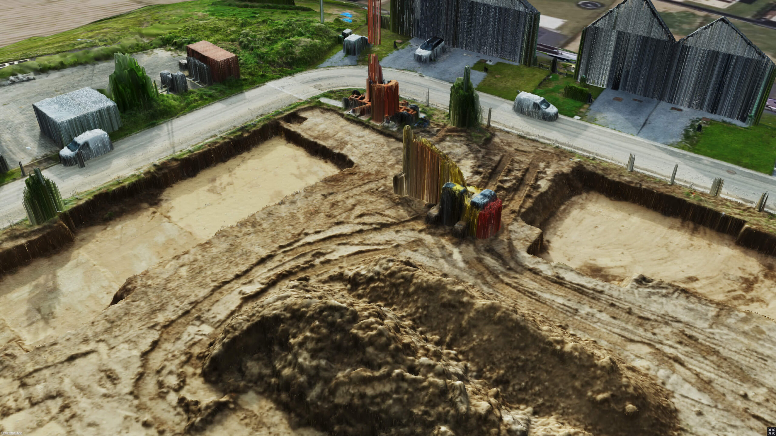
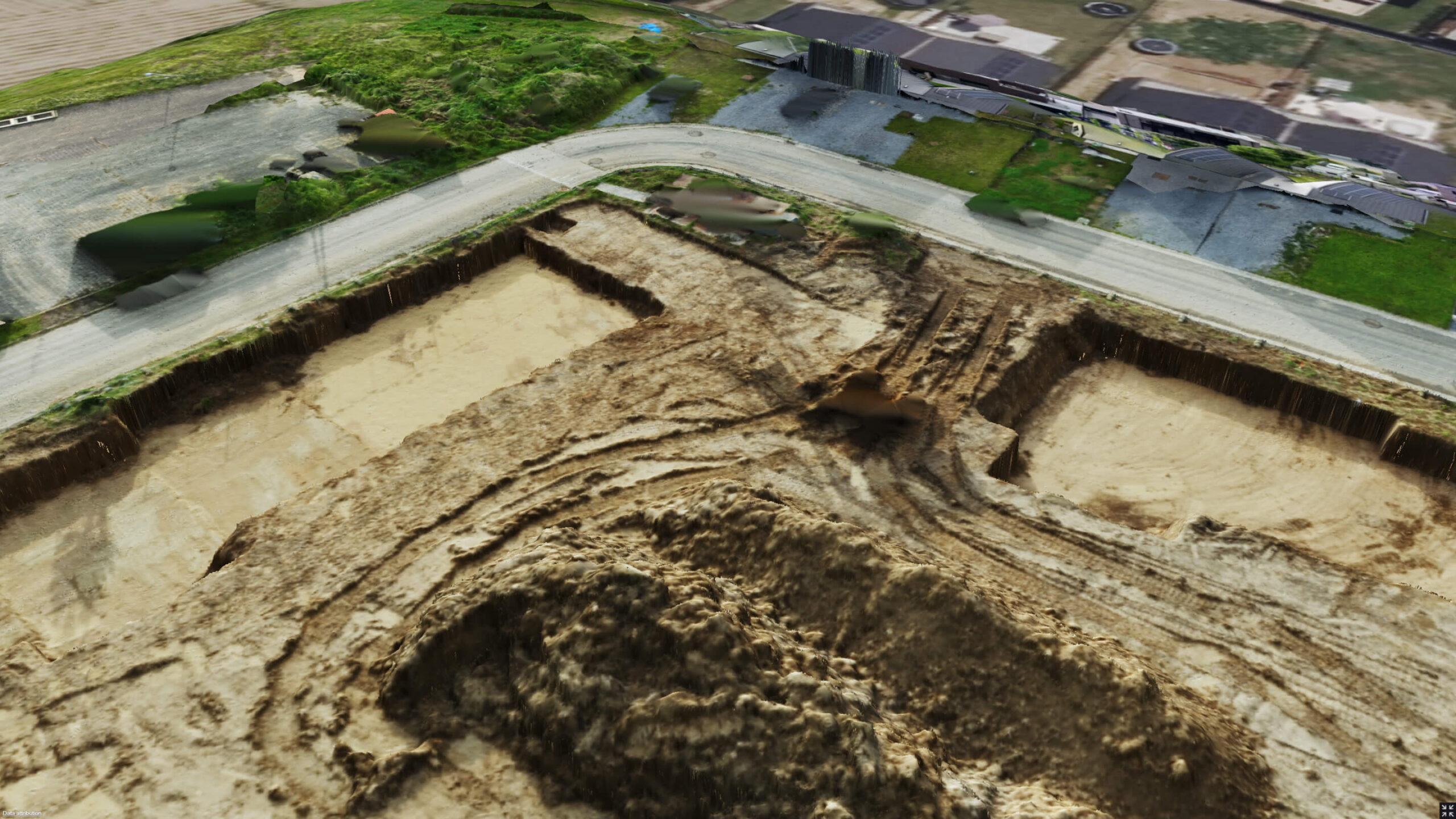
Edge automatically removes obstacles like machinery and buildings from the point cloud, drastically cutting down manual cleanup and speeding up your access to valuable insights. Ideal for both surveyors and job site managers.
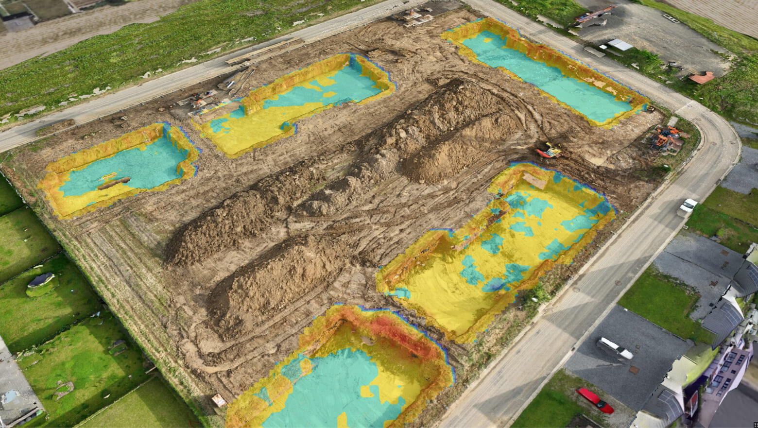
Connecting the Edge to the Smart Construction ecosystem
Modern construction demands met by advanced hardware specifications
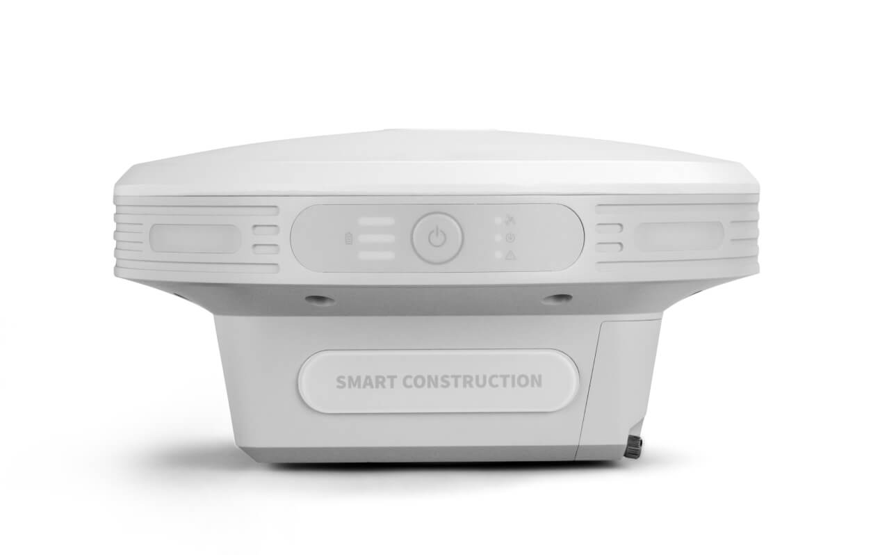
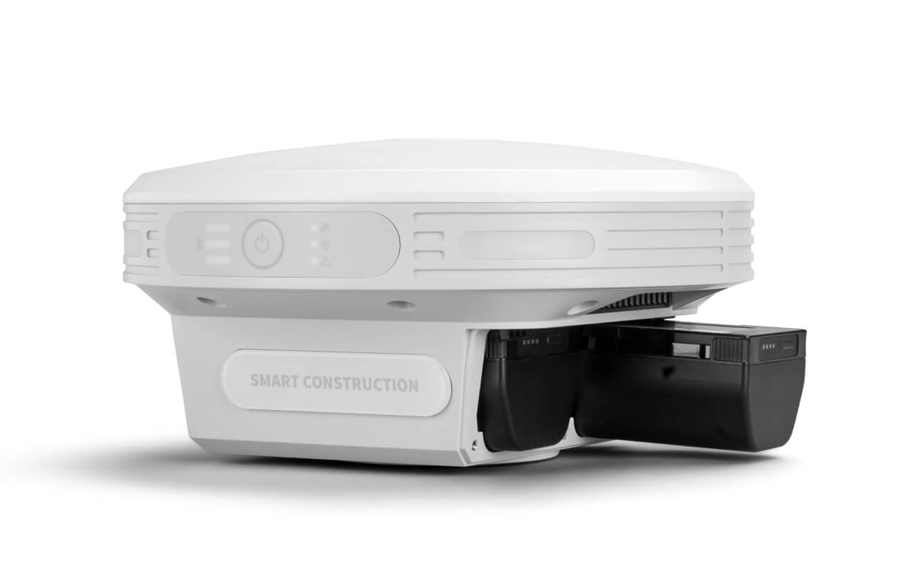
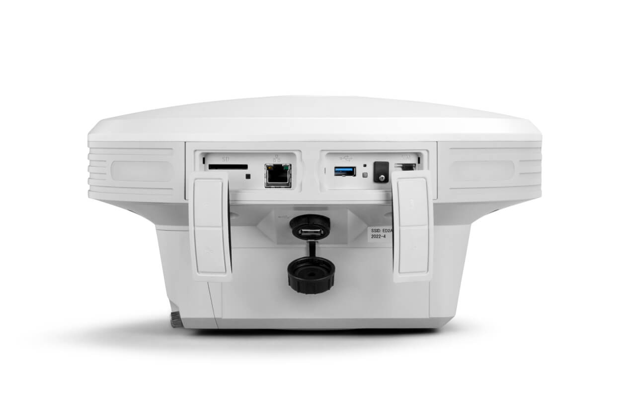
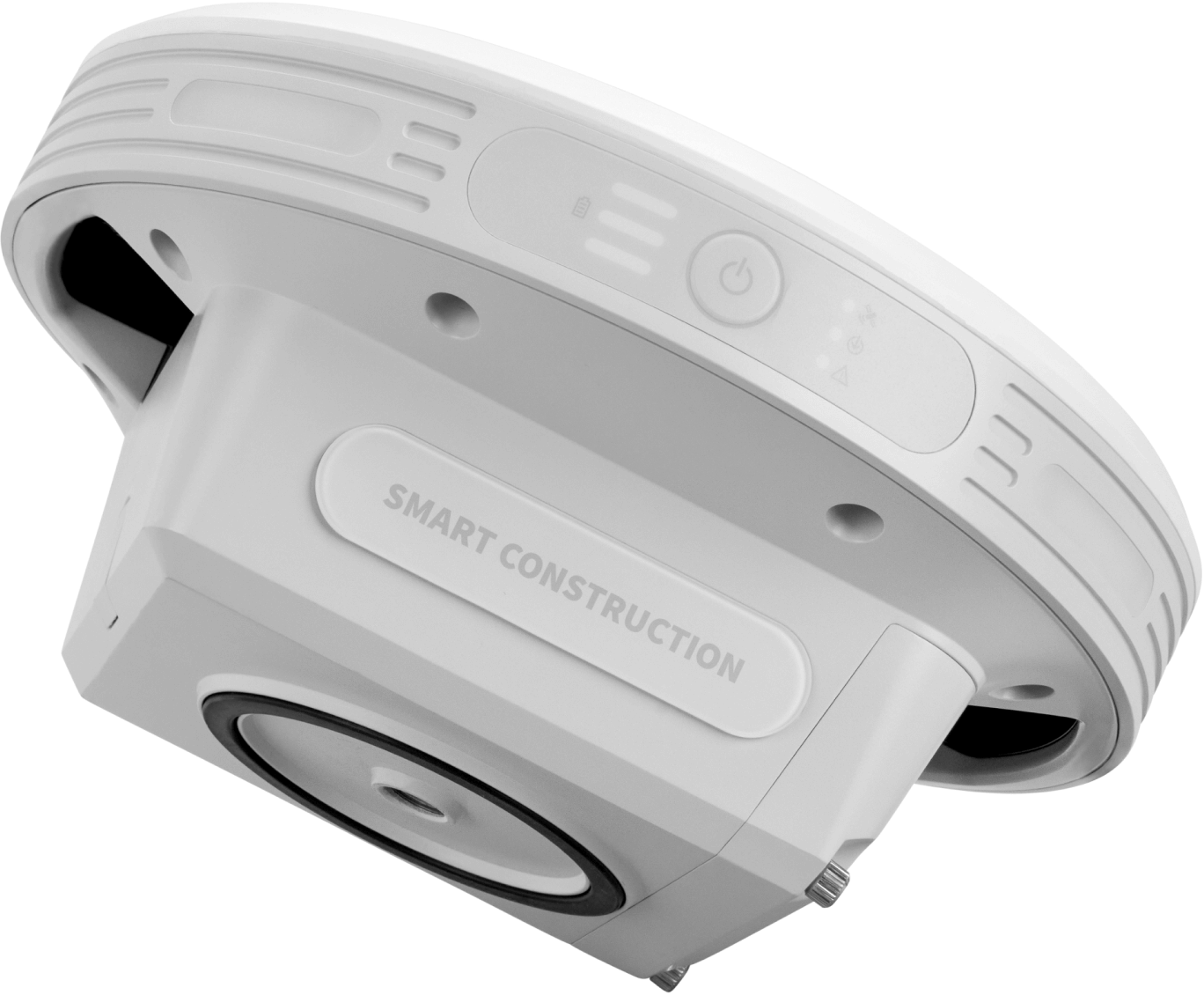
Construction-grade build quality and water / dust resistant (IP65)
Mobile via battery power (12 hours) or stationary via cable
Wireless connection to Edge via tablet or computer
Additional options:
Correction data for your equipment
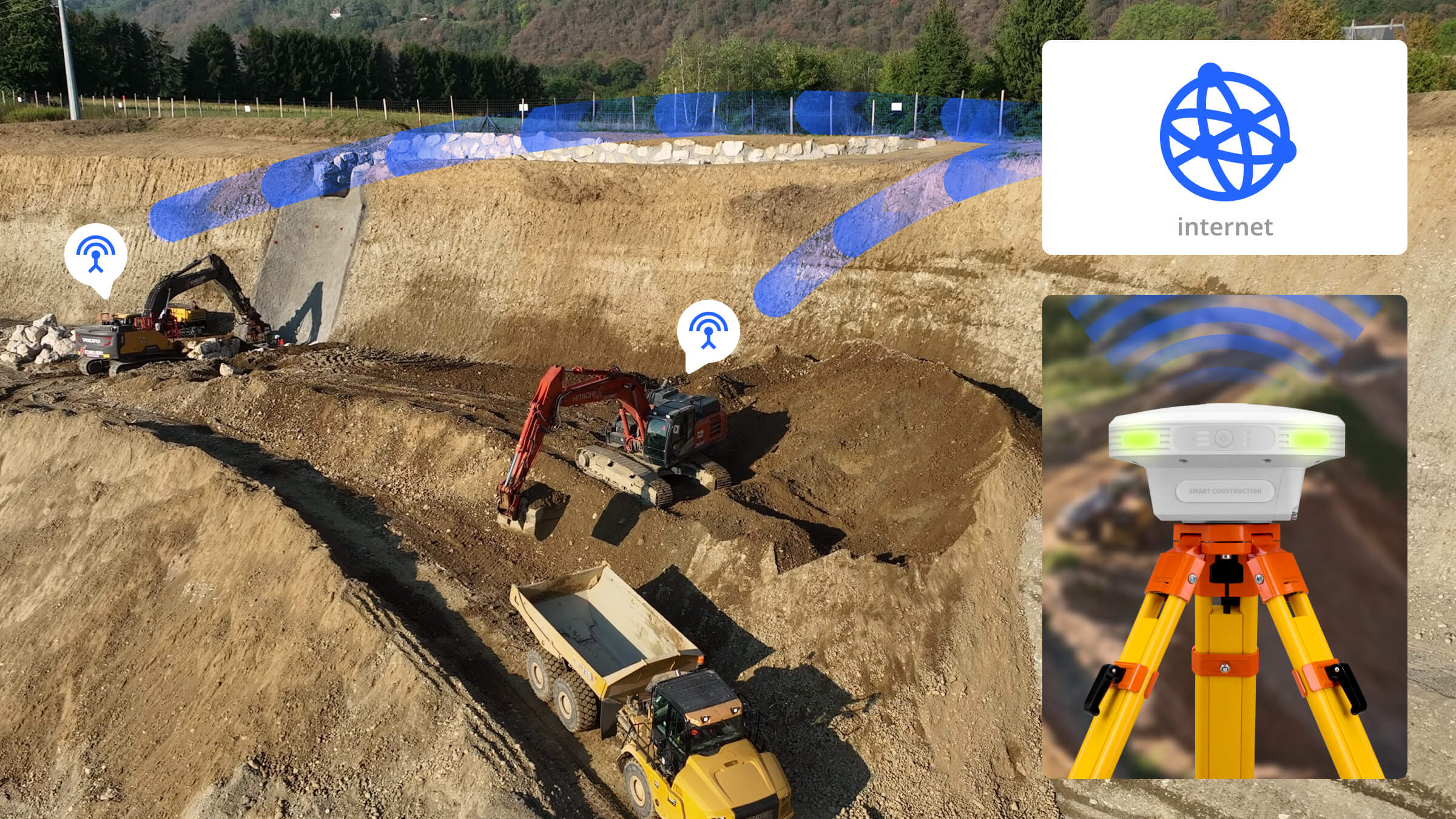
NTRIP Base Station Functionality
