Skip to content
  • Products
    • Dashboard
    • 3D Machine Guidance
    • Remote
    • Fleet
    • Edge
  • Blog
  • Support
    • Knowledge Base
    • Contact Support
  • Find a Partner
Login
Request a Demo

Day: March 20, 2023

Best practices to collect earthwork terrain data

as-built OG Image

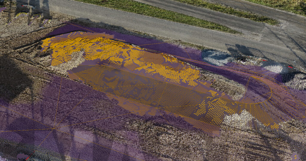
Drone surveying and machine as-built data can improve the tracking of terrain data in earthmoving projects.

  • Dashboard
  • Edge
  • Remote
  • 3D Machine Guidance
  • Fleet
  • Legal Overview
  • Dashboard
  • Edge
  • Remote
  • 3D Machine Guidance
  • Fleet
  • Legal Overview
  • Dashboard
  • Edge
  • Remote
  • 3D Machine Guidance
  • Fleet
  • Legal Overview
  • Dashboard
  • Edge
  • Remote
  • 3D Machine Guidance
  • Fleet
  • Legal Overview

© 2025 All rights Reserved.