File size standards make life and work a lot easier. Can you imagine that you have to convert every image or document to another file type when transferring it between computers? Thanks to formats such as JPEG or PDF, you don’t have to. However, in construction, there appears to be no universal file type for topographical data and machine guidance. Quite the opposite: there are lots of formats. The result? Delays and possible construction errors. That’s why the industry is looking to adopt a standard, likely LandXML. But why should we use such a standard? And is there a way to deal with the many file types we see on a construction site today?
Mixed fleets, mixed systems
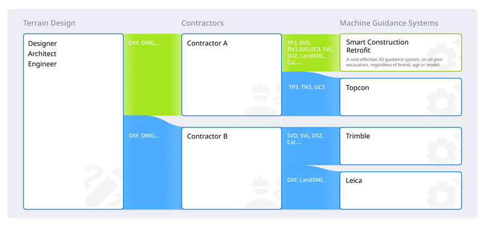
Before we delve into LandXML, it’s interesting to look at a jobsite today. Typically, multiple subcontractors work alongside one another, all with their own fleet. An architect or an engineering firm will send them a model of the earthmoving work that needs to be done. As they use CAD software, this file is often in a DXF or DWG format. These file types are great for designing but less so for guiding machinery. As such, subcontractors need to convert these designs into data that their machines understand.
This is where things get tricky. Different subcontractors use machines from different manufacturers, with different guidance systems that all work with – often proprietary – file formats. While one excavator may accept DXF files, another only reads SVD. And this is just in one subcontractor’s fleet. Another one may be using machines that only interpret TP3. The initial design, then, needs to be converted into a multitude of file types. And as soon as different subcontractors and their machines need to intercommunicate, even more conversion is needed. However, converting files is not always possible, and if it is, it takes a lot of time and leaves room for error and file corruption. Far from efficient, right?
Wanted: an ISO standard
To solve this matter, different industry stakeholders have formed an ISO working group. Its members are machine and position sensor manufacturers, machine control software and construction project management app developers, as well as data standard organizations. The aim of this working group is to come up with a standard for sharing data on the topography of a jobsite.
Enter LandXML
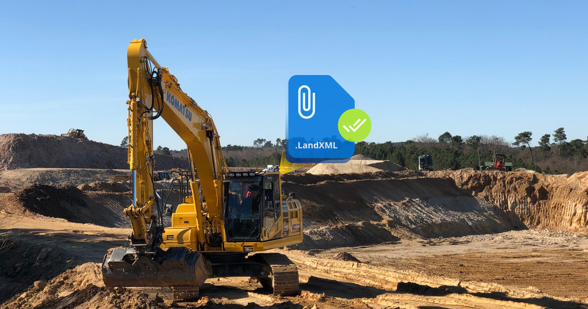
One of the most promising formats for standardizing topographical data exchange is LandXML. LandXML was first launched in 2000 by the LandXML.org industry consortium. This consortium consists of various key players in surveying and construction. Its goal, as stated on its website, is to provide an XML format to:
- Transfer engineering design data between producers and consumers.
- Provide a data format suitable for long-term data archival.
- Provide a standard format for electronic design submission.
LandXML, then, relies on XML files (eXtensible Markup Language) to store topographical data, such as points, parcel measurements, surfaces and cross-sections. It does so basically in the form of text. It is an open format that can be used by a wide variety of software and hardware.
The benefits of LandXML for civil construction projects
An open and standardized data-sharing method for topography has several benefits. Adopting a format such as LandXML ensures that all parties involved can easily read and work with the data. There is no longer a need to work with multiple formats and to constantly convert files, which may cause errors. It allows for clear and efficient communication throughout the entire construction process – from the drawing table to the machines on the jobsite, to the reports that are sent to contractors, clients and authorities.
In short, LandXML should make construction projects easier and more efficient for all parties. Add all of that together, and you can see why we at Smart Construction have decided to support LandXML since our very beginning. Indeed, all of our products and services are compatible with this file format.
Retrofit to the rescue
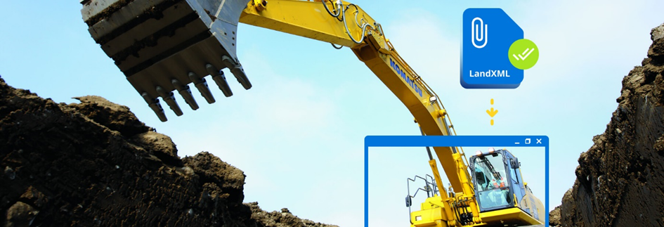
In the meantime, while we are waiting for this standard to assume its place, should you continue struggling with multiple file types? We at Smart Construction don’t believe so. The soon to be released Smart Construction Retrofit (our low-cost 3D machine guidance solution) accepts the vast majority of file types: TP3, SVD, GC3, SVL, Cal, DXF, and of course LandXML. This means it’s more than ready for today’s job sites, where working with multiple formats still seems to be the rule. But it’s equally ready for the future of construction, with LandXML. Just add the kit to your current machinery, regardless of their age or manufacturer. Your equipment will work with whatever file you throw at it. Less frustration, more time to focus on the job ahead.